MR in Smart Cities
MR in Smart Cities
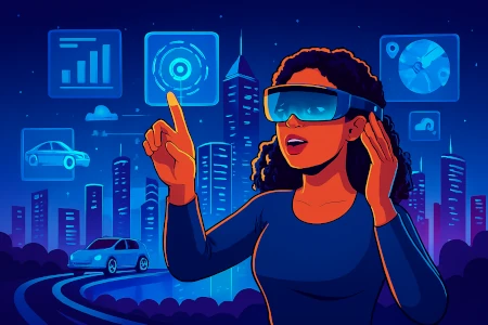
Mixed Reality: Building Smarter, More Connected Cities
MR blends the physical and digital to give city planners, responders, and citizens new ways to design, operate and participate in urban life.
How MR Supports Smart Cities
Real‑time interaction between digital and physical environments to design, operate and engage citizens better.
Urban Planning & Design
Walk proposed developments at full scale and collaborate in real time.
Smart Infrastructure Management
See inside walls, pipes and networks without excavation.
Public Safety & Emergency Response
Visualize interiors, routes and hazards for faster response.
Citizen Engagement
Allow residents to explore projects and services through interactive MR.
Workforce Training & Simulation
Train crews in realistic hybrid scenarios for operations and maintenance.
Smart Tourism & Cultural Experiences
Blend history and place with interactive MR storytelling.
Key Applications
Practical MR use cases that improve planning, operations, safety and citizen services.
Mixed Reality Urban Planning
Collaborative 3D planning with geospatial accuracy.
MR for Smart Utilities & Infrastructure
On-site overlays of network maps, sensor feeds and repair steps.
Emergency Simulation & Public Safety
Hybrid drills for evacuation, hazmat and multi-agency response.
Interactive Smart City Projects for Citizens
In-situ previews and participatory design tools.
Workforce MR Training Programs
Hands-on MR training for traffic, waste, and MRO teams.
MR for Smart Tourism & Promotion
Immersive city stories and guided cultural experiences.
Case Studies
Examples where MR improved city planning, ops, and citizen engagement.
Full-Scale Masterplan Walkthrough
Downtown redevelopmentChallenge
Stakeholders struggled to visualize massing and public space at scale.
Solution
MR walkthrough allowed planners, council and citizens to experience the proposal in place.
Outcome
Quicker consensus, more informed design updates and smoother approvals.
Utility Network Troubleshooting
City pipeline maintenanceChallenge
Locating subsurface faults caused delays and rework.
Solution
MR overlays of underground maps and sensor history for field crews.
Outcome
Faster diagnostics and fewer accidental strikes.
Cross-Agency Emergency Drill
Multi-agency response trainingChallenge
Coordinating multiple teams across a complex urban event.
Solution
Hybrid MR drills that synchronized scenarios across command and field teams.
Outcome
Improved coordination and reduced tabletop-to-field friction.
Mixed Reality: Building Smarter, More Connected Cities
Visualize, operate and engage — MR makes city systems responsive, resilient and citizen-friendly.
Tags :